Hurricane tracker
Live positions and intensity for every active tropical system tracked by the National Hurricane Center. Atlantic hurricane season runs June 1 – November 30, with the peak from mid-August through October; the Eastern Pacific season starts May 15.
Where the storms are now
DepressionTropical stormCat 1Cat 2Cat 3Cat 4Cat 5
Marker size and colour follow the Saffir-Simpson scale; the label is the storm name. Click a storm for its official NHC advisory — this map shows current positions, not the forecast track.
Active systems · 5
🌀 Tropical Depression Fay
AtlanticMax winds
35 mph
Pressure
1011 mb
Position
28.9°, -44°
Movement
180° @ 5 kt
🌀 Post-Tropical Cyclone Odalys
PacificMax winds
46 mph
Pressure
1000 mb
Position
22.8°, -123.1°
Movement
20° @ 6 kt
🌀 Hurricane Polo
PacificMax winds
127 mph
Pressure
951 mb
Position
21.9°, -114.1°
Movement
355° @ 12 kt
🌀 Tropical Storm Rachel
PacificMax winds
40 mph
Pressure
1005 mb
Position
12.6°, -99.1°
Movement
290° @ 5 kt
🌀 Hurricane Nolo
PacificMax winds
115 mph
Pressure
966 mb
Position
16.2°, -159.3°
Movement
280° @ 12 kt
7-day tropical outlook
Atlantic basin
NOAA NHC
Eastern Pacific basin
NOAA NHC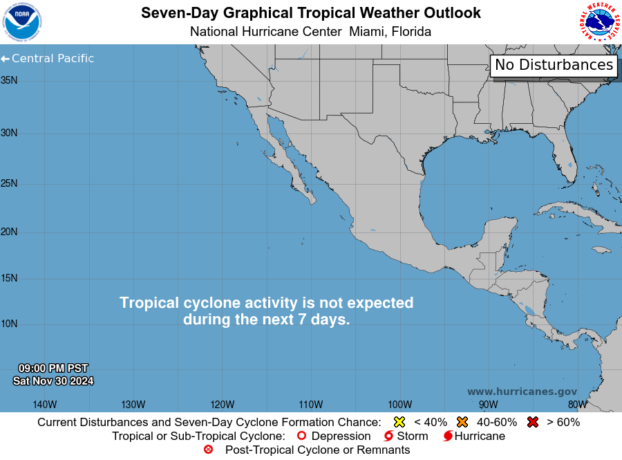
How to read this page
Storm positions, intensity and the outlook graphics come straight from the National Hurricane Center and refresh every 15 minutes here. Categories follow the Saffir-Simpson scale: a hurricane starts at 74 mph sustained winds, Category 3 (111+ mph) marks a major hurricane. A Watch means hurricane conditions are possible within 48 hours; a Warning means they are expected within 36 — if local officials call for evacuation, go early.